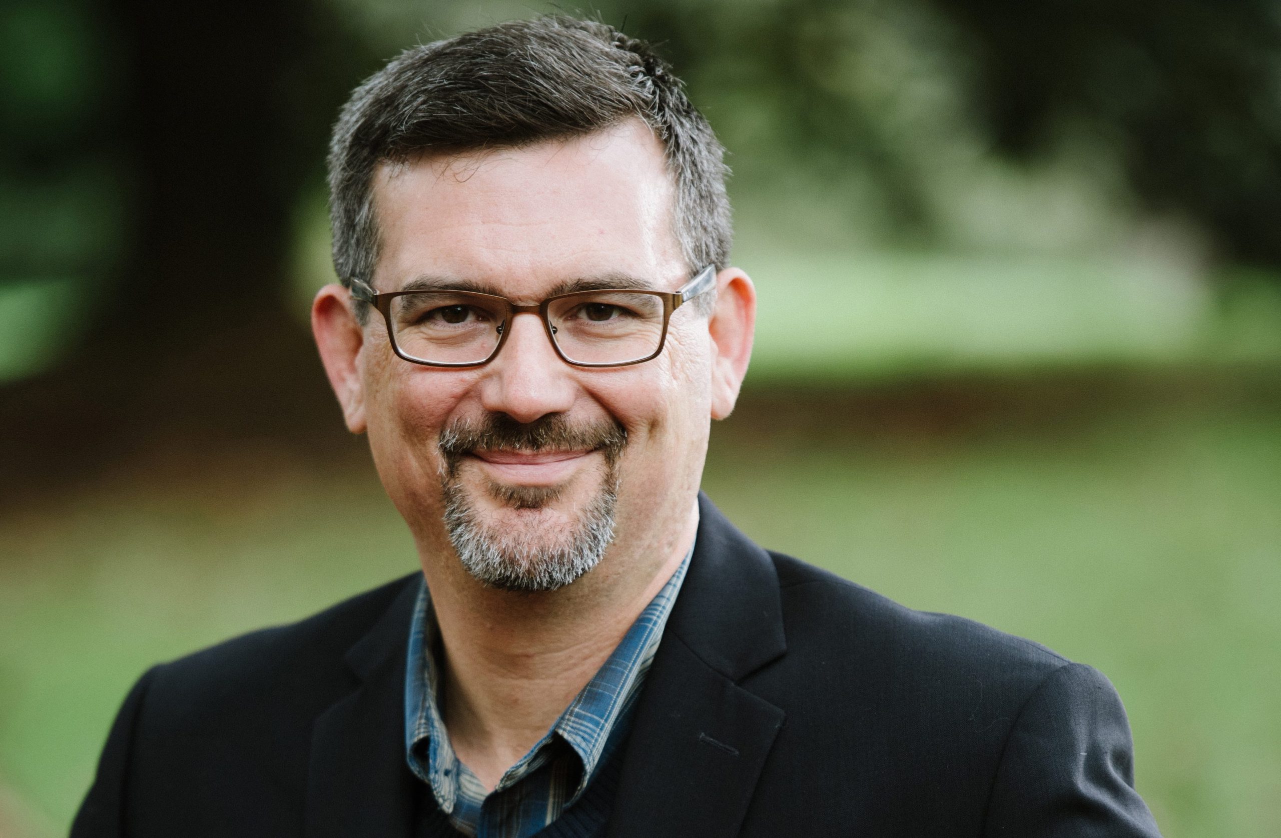
Max Edelson is a professor of History at the University of Virginia and the co-director of the Map Scholar and VisualEyes project, developed with a Digital Implementation Grant from the National Endowment for the Humanities in 2012. Dr. Edelson took a minute to tell us about the origins of the project:
How did you conceive of MapScholar and Visual Eyes?
I set out to write a book about how the British mapped America before the Revolution, and I soon realized that there were so many maps to consider that I would need a format that could display more than a handful. I also saw the value in giving readers dynamic, high-resolution images and the capacity to annotate the maps and zoom in on details. An NEH digital humanities start-up grant led to a couple year of wild experimentation. When I arrived at UVA in 2009, I already knew visualization expert Bill Ferster from meetings at DH conferences, and we began collaborating. An NEH implementation grant funded the development of MapScholar and VisualEyes grew out of MapScholar’s geospatial toolset.
How did you form the research team for the project?
My partnership with Bill Ferster was always the core of this work, but I relied on the GIS specialists in the UVA Library’s Scholars’ Lab as well as the work of a number of dedicated graduate students who served as RAs for the project. The SHANTI (Sciences, Humanities, and Arts Network of Technological Initiatives) team provided great support.
What, if any, obstacles did your project face?
We built the original version of MapScholar to work with Google Earth’s API–the temptation of 3D mapping really pulled us in that direction. We were lucky that when Google pulled their API, we still had a year of funding to remount the resource on a 2D baselayer. Other than than, the obstacles were simply the typical ones–DH development takes a lot of time and experiments, many of which lead nowhere. Once we had invested so much into MapScholar, however, we were determined to make it work.
How have MapScholar and VisualEyes changed and evolved over the process?
Both platforms were shaped by test projects we used to shape them. We wanted them to serve the real needs and interests of humanities scholars.
If you had to describe the project in 5 words, what would they be?
Map history = Space, place, context
What’s your dream DH project (if you could work on anything with any skill set in any field, what would it be?)
I’m learning more about the great new visualization possibilities of ArcGIS Online at the moment–that’s enough for me right now!

